The ascent of Halti in fall of 2018, part 1/2
The ascent of Halti in fall of 2018, part 1/2
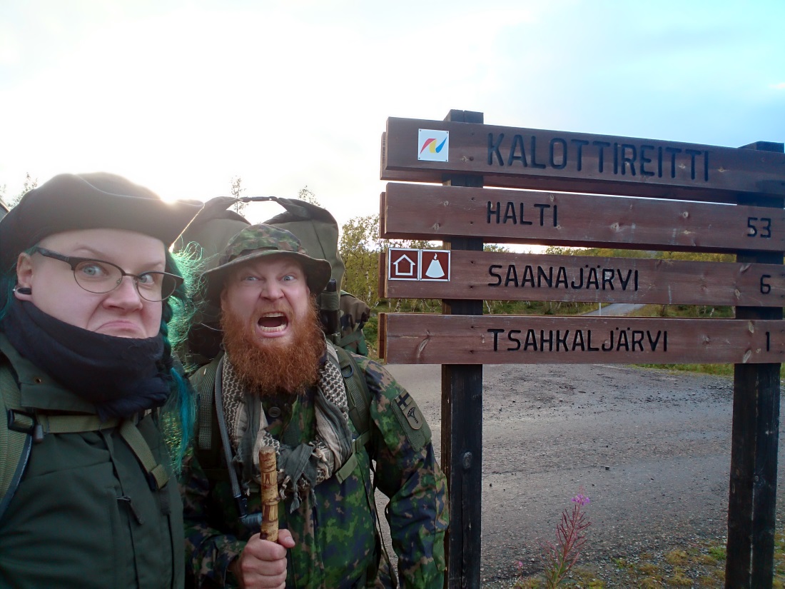
We are employees of Varusteleka and a couple, who spend a lot of time in nature. We make short hikes nearby every week and several overnighters every year. In addition to these, we are committed to two longer hikes or other adventures each year. This year we went to Koli national park in May and in late August / early September, we went to Halti fell. Last year we made a trip to the Kaldoaivi wilderness area.
Our goal was to hike from Kilpisjärvi to Halti and back in seven days, spend the nights in a tent, enjoy the early fall with fewer bugs, view beautiful landscapes and get to know the outback in the "arm" of Finland. We didn't spend a huge amount of time planning the trip, but the knew what we wanted to accomplish and had bought a map.
Road trip
Rise and shine! The alarm clock went off at 05 AM. We had prepared luncheons the day before and proceeded to stuff our faces with a bacony breakfast and haul the last pieces of gear into the car. The day had to start early, because we had a 1200-kilometre drive ahead of us. That's 745 miles for anyone living in the past. The objective of the mechanized march was to reach Kilpisjärvi in 15 hours including two longer stops to refuel the car and ourselves.
The trip went as planned. Jokes were bad, but the company and music were great. We reached Kilpisjärvi at 08 PM, paid a visit to the local grocery store for final top-ups and headed into the bush. At lake Tsahkal we spent a while looking for a suitable spot to pitch our tent, because the best ones were taken already. Surrounded by the last arctic downy birch near the beach, we found what we were looking for. From here on the only trees we'd see would be of the dwarf birch kind, until the treeline would be behind us entirely.
Naturally some rocks were under my sleeping mat and fine-tuning the orientation of the tent did little good. We didn't relocate entirely, because finding this place was a task already. The view was a sight to behold, though, and the sun set behind Saana fell as we gnawed on some rye bread with butter and salami for supper.
Work-related things from the last week kept me awake and shifting myself on some rocks as raindrops pattered the flysheet. In the early morning hours I found myself curled into a fetal position at the footspace of the tent. I guess I got a few eyefuls of sleep, not much.
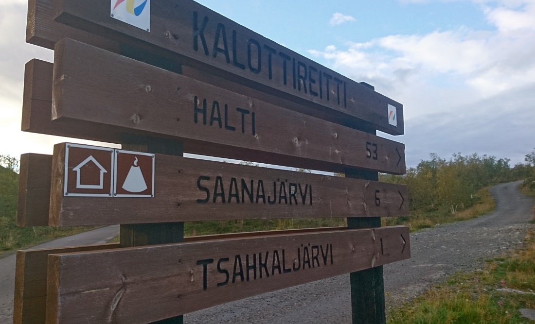
We left the car at lake Kilpisjärvi nature centre, where the Kalotti trail begins.
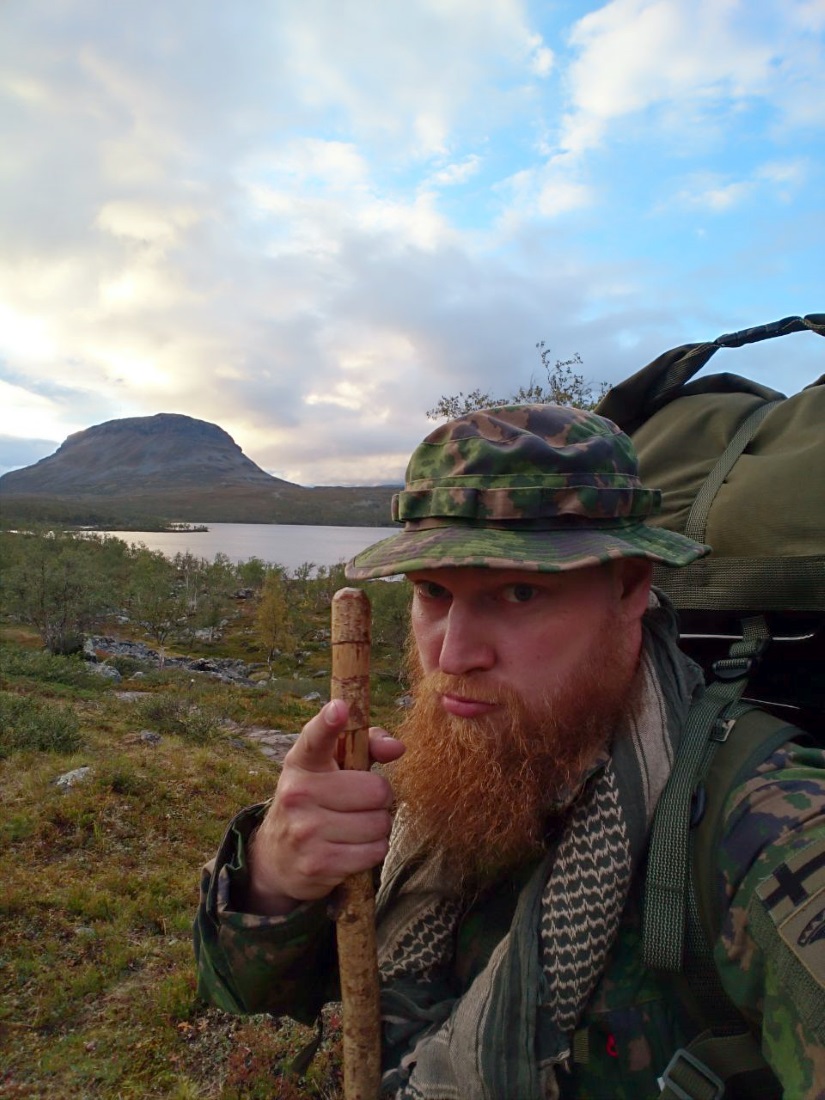
Saana fell in the background.
Here we go!
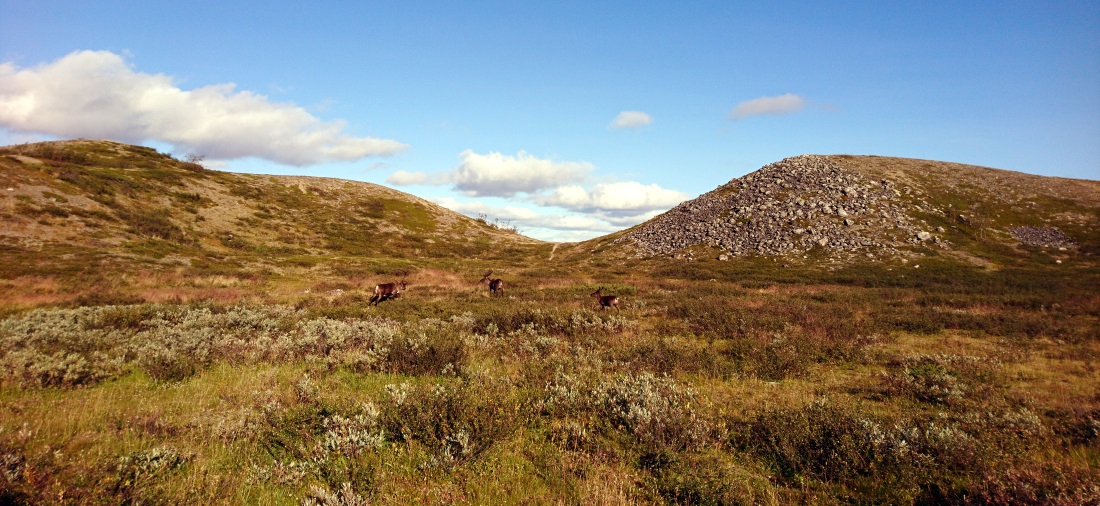
I woke a bit before Essi and stumbled out of the tent into light rain. The view over lake Tsahkal was supreme and I cooked some porridge and gazed at Saana with some reindeer, as Essi made her way out. After breakfast we pulled the camp together and it was time to start the actual hike. As was apparent from the density of tents we observed the night before, we had company.
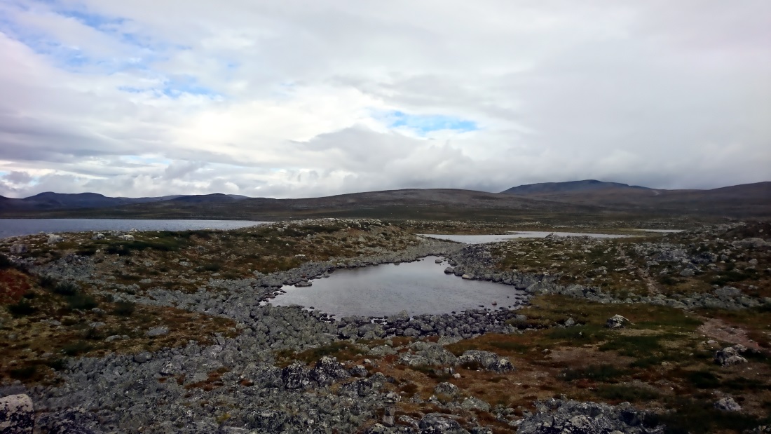
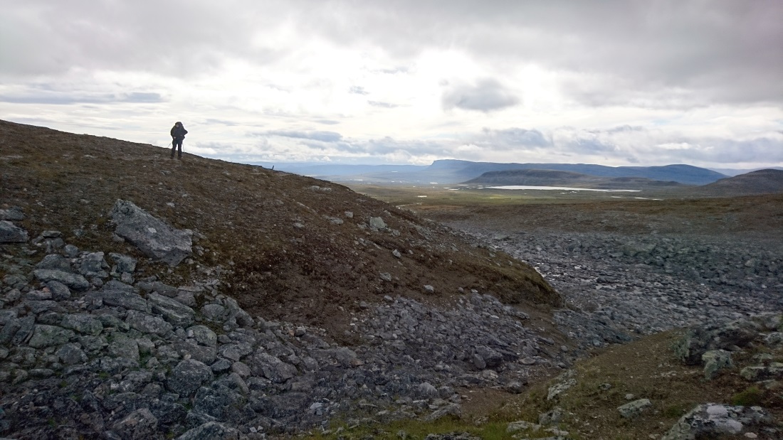
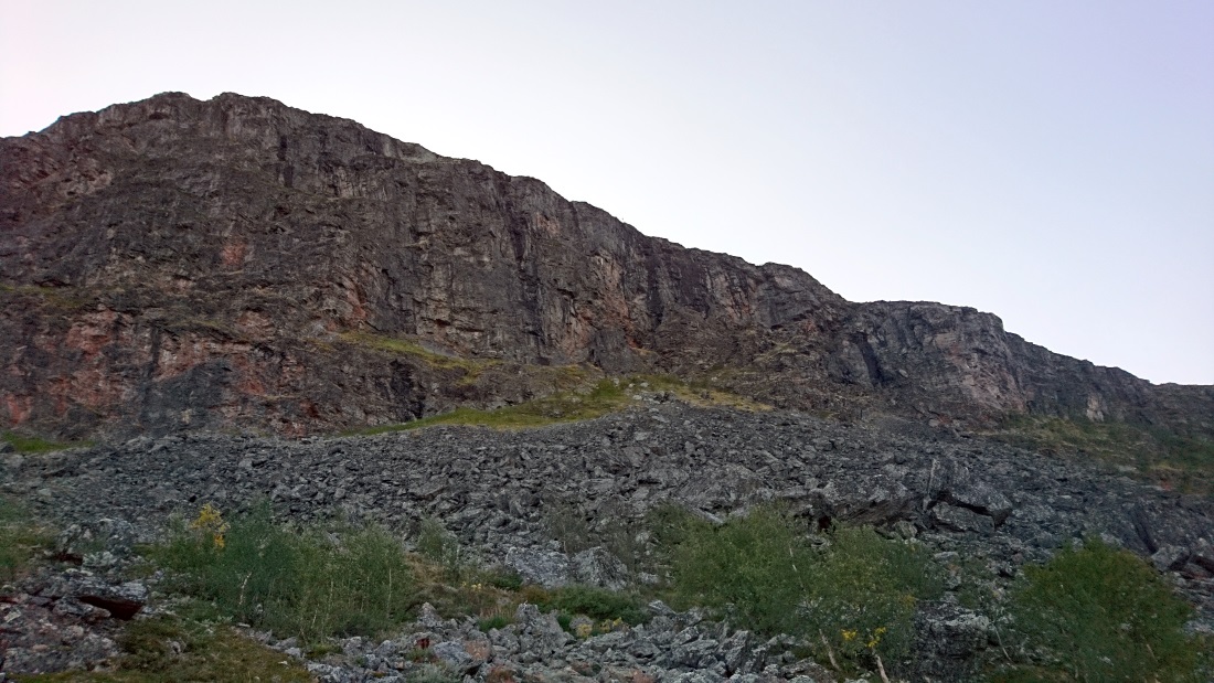
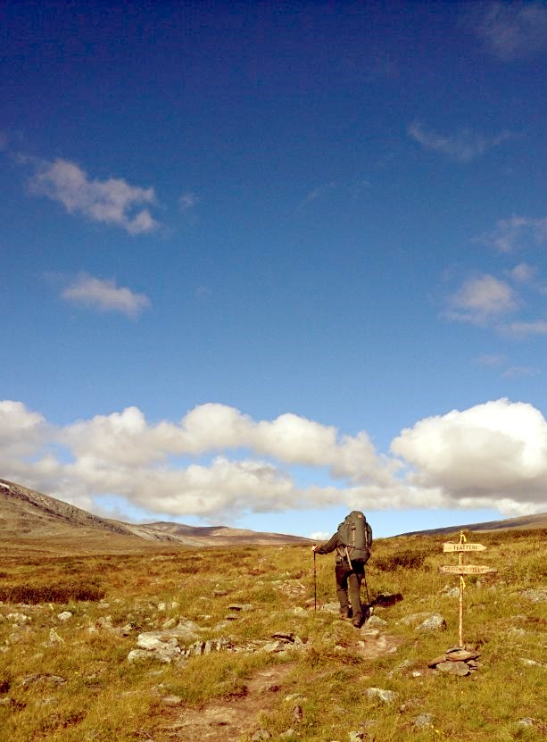
Despite fairly heavy rucksacks we had a light step. During the first leg we ventured on Norway's side for two clicks and saw lake Coahppejavr. After ten kilometres we had lunch at a deserted hut at lake Saarijärvi, which was surrounded by felsenmeer.
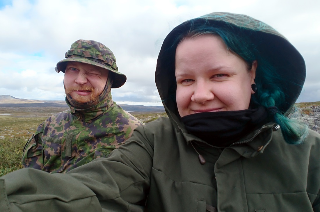
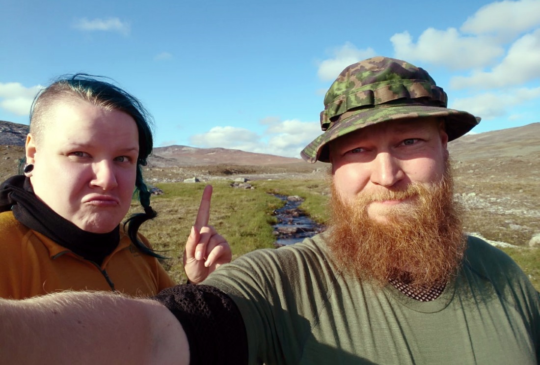
First-day grins.
The "beach" of Lake Coehppejavr.
At the hut we met some Norwegian trekkers, who had a company challenge to walk all the way through Norway. Their part of the effort was the Kalotti trail. We were presented with an opportunity to educate them about the highest point of Finland, the Halti fell, where everyone else was headed.
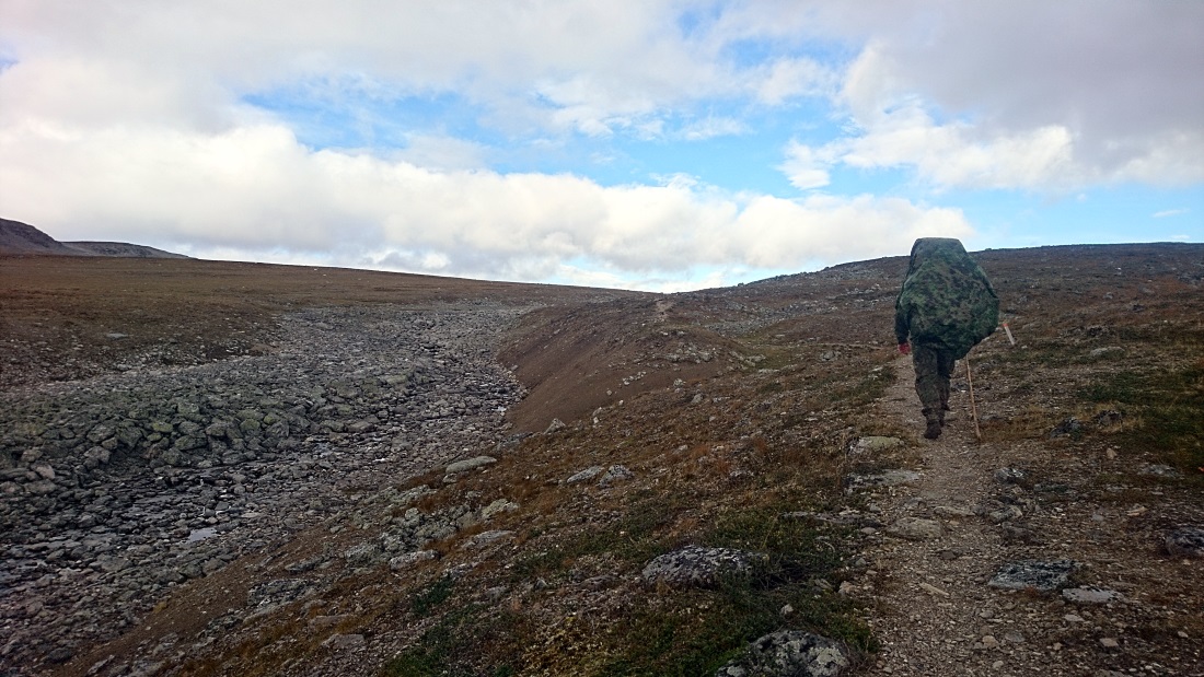
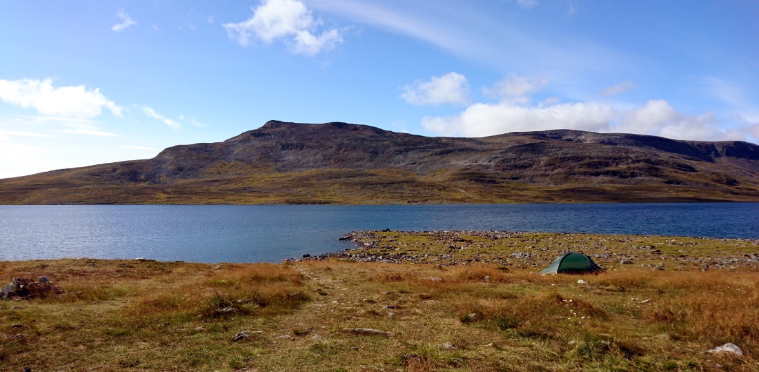
After lunch the uphill steepened some and around these hoods we stepped into the outback of "the arm". We ascended the fell step by step and after four kilometres we found a perfect place for our tent: level, soft, with water running by and absolutely devoid of rocks! The legs would have kept going but getting a good night's sleep was a priority this time.
Once inside the tent we examined the leg planned for next day and noticed we're already at an altitude of 940 metres (over 3000 feet for nostalgic folks) between too fells, which is higher than we have slept before. During the day we had covered 14 kilometres and advanced 380 metres upwards.
Pro tip for tent people: We pack a dish rag with the tent and wipe it off before packing. The rag weighs next to nothing and you don't have to pack the tent wet.
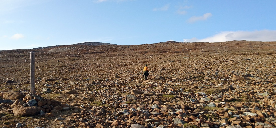
The gradient towards the tent spot.
Every now and then it's good to look back to where you came from.
You can do it!
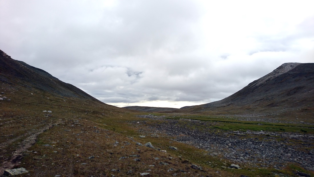
The sleep was exceptionally good. Rarely do I sleep quite this well on hikes. We moved back on the trail in a relaxed pace, so peaceful the awakening was. From the highland we headed down a wide gorge towards the Kuonarjoki river shack.
An old knee injury started troubling Essi right from the start and after a hundred metres we couldn't descend any further. This had been an issue last year in Kaldoaivi as well. All we could do was to pull down the pants in chilly weather, tape up the knee and see where it would get us. We also had a cheap-o knee support with us, which would provide at least mental comfort. The effort was enough to let us continue.
The gorge before Kuonarjoki river shack.
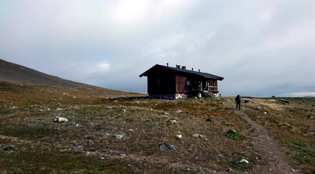
Kuonarjoki river shack.
We stopped for a moment at Kuonarjoki river shack to munch on some beef jerky before departing again. A couple of mates were hanging at the shack informed us that the path to the next hut would be easy terrain with just a couple of stream crossings. They were right: it was the easiest leg during the hike and the crossings were easy enough to do with boots on.
We had lunch in the fell and water started coming down from a clear sky. There were thin white clouds over the next peak and strong wind carried the drops about a kilometre to where we were. We donned rain jackets for a moment, but the shower was soon over. The route was mostly flat with a steepish gradient towards lake Meekonjärvi.
Approaching lake Meekonjärvi, Saivaara in the background.
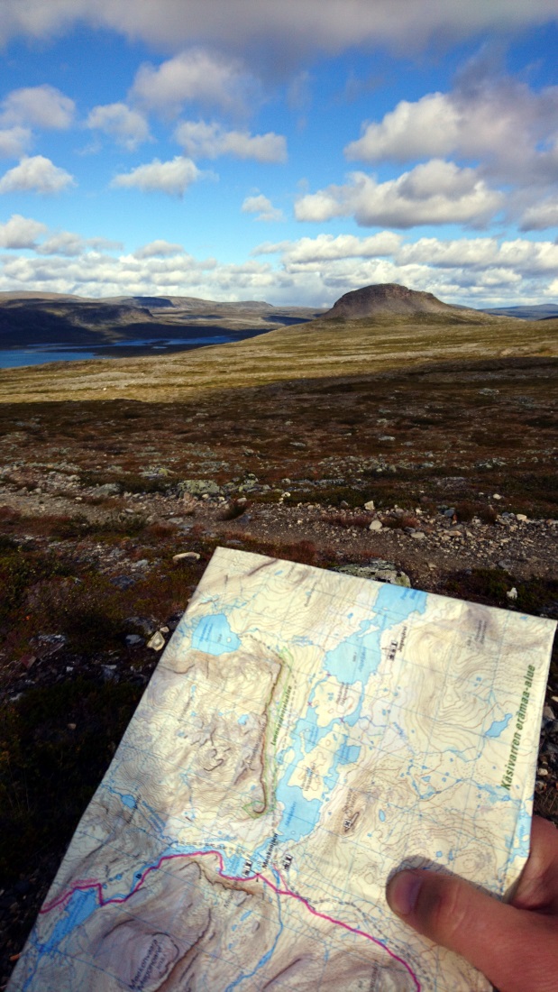
Orienteering and Saivaara fell.
The landscapes were a sight to behold and pictures do them little justice. Meekonlaakso is called the Monument Valley of Finland because of Saivaara fell and several bluffs. This environment raised a desire to set camp for several days.
There are two huts at lake Meekonjärvi, of which the other is a rental cabin while the other is a desert shack. We had no need to take a break, so we passed both. There were several good tent spots surrounded by downey birches to the north of the lake. However, as the weather was brilliant with the sun sweeping over fell summits, we decided to continue.
Landscapes near Meekon rental hut.
Meekonpahta bluff. The M05 camo disappears here nicely.
The decision turned out to be ill-advised and we struggled to find a place to pitch the tent afterwards. We kept looking as the evening twilight steadily conquered the surroundings. We hiked several kilometres up and down to the riverside and to higher grounds as the sun disappeared entirely.
Finally Essi found a small spot around lake Vuomakasjärvi, which fit our tent in just the right position. It wasn't ideal and we couldn't orient the tent towards the wind, despite best efforts. These are situations you just have to deal with.
Dinner turned rather into a night meal because we had planned to prepare it after setting up camp, which was postponed. Cooking required extra effort when spirits were low and Kalakalle Smoked Salmon groats with noodles never tasted this good. We don't usually carry canned goods on longer trips, but this exception was worth the effort. I fell asleep as soon as my head hit the pillow.
The wind got stronger during the night, woke me up and I had trouble going back to sleep. Luckily our tent was made for harsh conditions, as a flimsier model would have spontaneously turned into a kite. Looking at weather reports afterwards we found that wind speeds had been as high as 20 metres per second, which is right where strong winds turn into a storm.
We covered more than 20 km during the day. Essi's knee held together fine, but was sore enough when going to sleep that stronger meds were necessary. The objective of the next day was to reach the base of Halti and we were considering how to handle the situation, if the knee doesn't allow walking further.
We'll make it!
The weather had set for the morning and we were greeted by the sun from a virtually cloudless sky. We slept a bit later because the evening had stretched so much. My sleep was a bit intermittent because the wind made a racket against our tent. Essi was smart enough to sleep with earplugs on.
Windy night's campsite.
After doing our morning business we rolled up the camp and headed towards lake Pihtsusjärvi. On the trails leading to us we saw lots of hikers: where were they coming from, were they participating in a guided group-hike?
Upon meeting the first ones it was clear: they asked whether we are going to the theatre and told us we already missed the premiere. What premiere? Theatre in the middle of nowhere? Is this a joke? Everyone of the thirty or so people we met promoted the theatre and they were the most numerous of people we met.
After the first ten hawkers the joke got old. The theatre would be a few kilometres past lake Pihtsusjärvi and the opening night had 70 people watching. There would be a tent-village around the Pihtsusjärvi desert shack and finding a spot would be difficult. Not that it mattered, because the shows would start at six in the evening, by which time we'd be long gone.
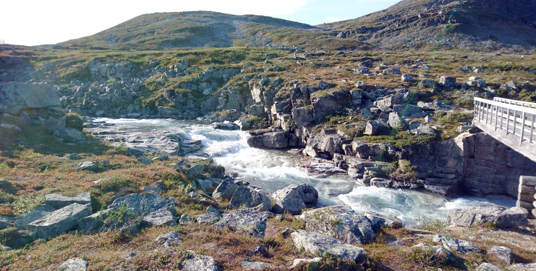
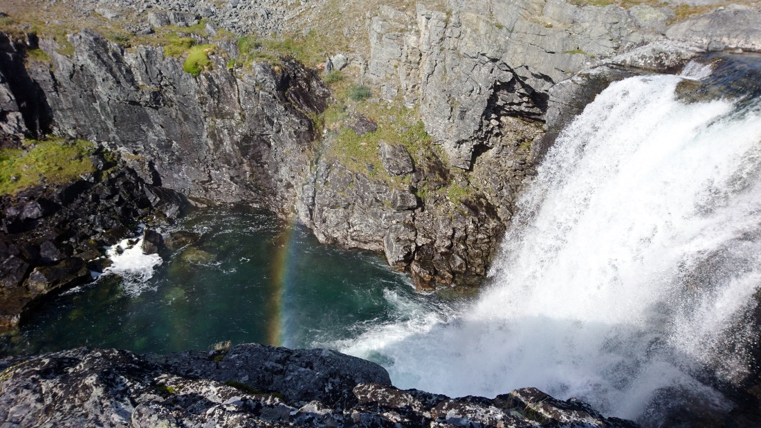
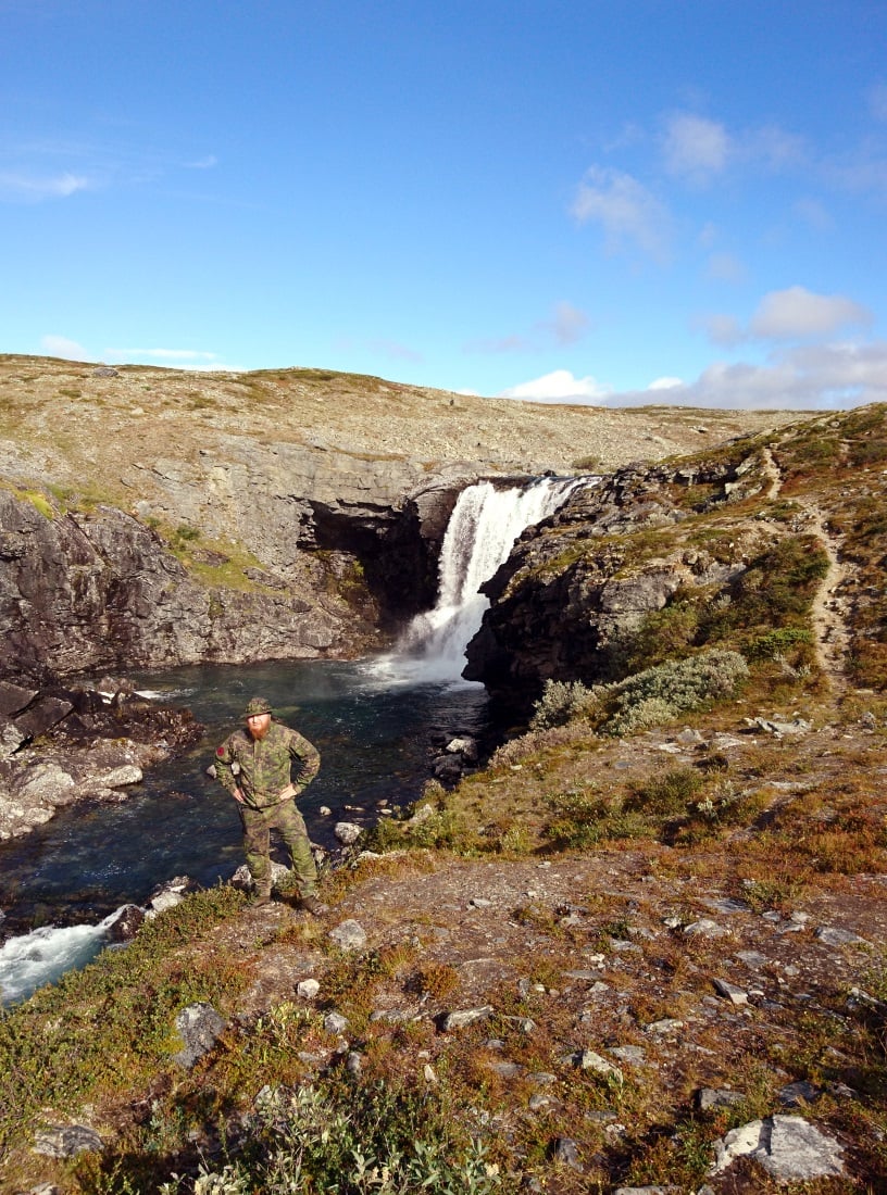
Before noon we hiked up from the lake to the fell and visited Pihtsusköngäs, which is among the tallest waterfalls in Finland. We dropped our rucks and watched the water flow and fall for the duration of a short brake.
The mandatory pose-pic.
From here to the shack the trail was rather rocky. The occasional theatre-fellow would meet us here and there, but not too many. Noting that Kalotti trail and Halti fell are popular attractions, neither of us had expected to see so many people as we did before.
We had lunch at the Pihtsusjärvi shack. Tents in the vicinity were numerous and a peek revealed the shack to be crowded and we decided to enjoy some personal space on the outside. An older gentleman soon stepped outside to have a chat. The winds of the previous night had broken people's tents and some had to use the shack as shelter.
A shot from the shack towards lake Pihtsusjärvi.
After finishing our meal we wandered off the Kalotti trail towards Halti. We passed the theatre and tent-village nearby. On the way we found a waterfall, which would allow to swim behind the wall, but the four-degree water and five-degree air weren't an attractive option this time. (Once again for foreign peeps, these are 39 and 42 Fahrenheit.)
A sign towards the theatre. Halti fell in the background.
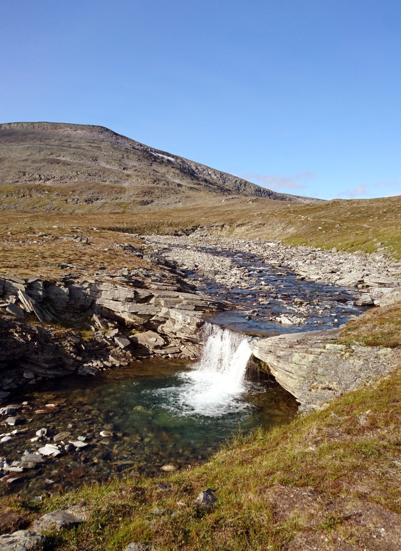
Fore-Halti and a small waterfall
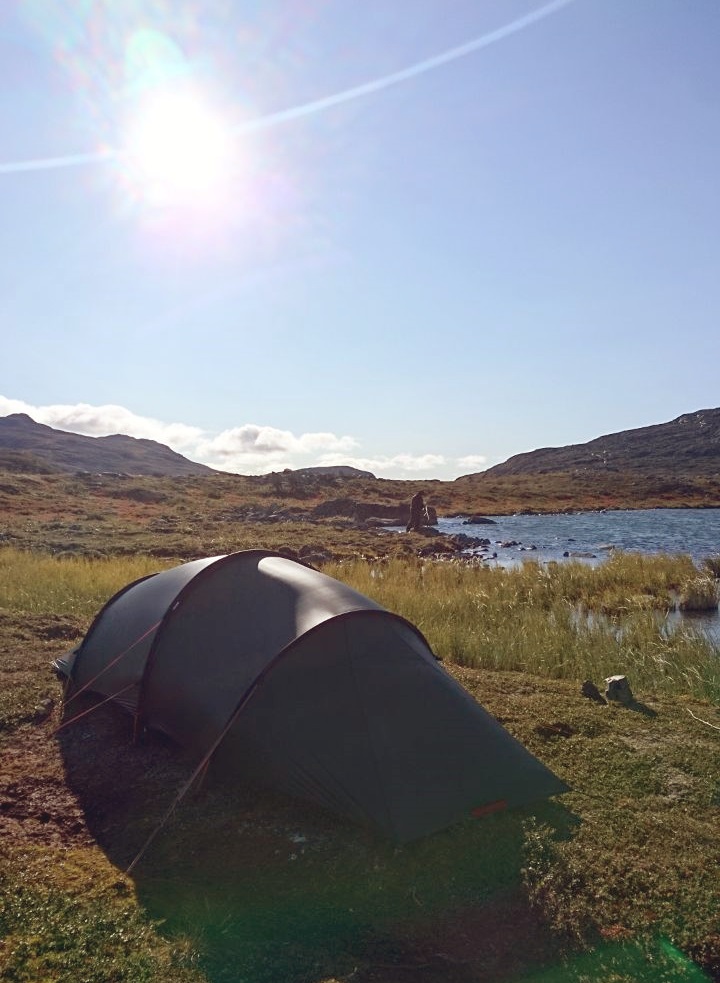
After four kilometres we found a perfect place for our tent: even grass near water. Essi was intrigued by the idea of reaching the summit on the same day. The evening sun was shining and the sky was blue. The weather forecast for tomorrow was overcast and rainy. She shared the thought as we put our camp together. The distance didn't look far to mee either: there it is, right next to us!
Halti and tired wanderers ponder, whether to make a short evening trip or not.
After taking a look at the map the unanimous decision was made to go for it. We left our rucks in the tent and put some luncheon, water and first-aid gear in a day-pack. The distance to the peak and back would be about 12 km, less than 7.5 miles! From afar we saw the shacks and huts lower on the fell, but we were headed upwards towards the highest ground in Finland.
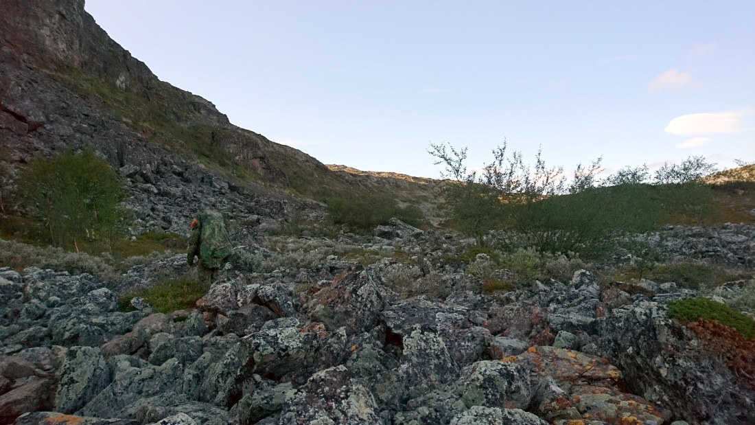
We had encountered felsenmeer ever since starting the journey, but the last leg was nothing but boulders. Only at the slope, going uphill supported by trekking poles or utilizing "hand-4WD", we started to realize just how large Halti actually is.
At the start
Halfway to the top we started to grow weary. We had a long trek behind us, which was now followed by dragging our asses up a stony hill. Our footsoles were on fire and ankles shot with each step.
On top of this we were paid a visit by Mr. Hunger (that asshole), but luckily thirst didn't get bad. Essi saw my frowning face and raised spirits with an adaptation of Nothing by The Fugs, which she had devised at Kaldoaivi before.
Did we make it all the way, make another attempt the next day, and how on earth did we get back down? The first part of the article ends with a cliffhanger, here's the next!
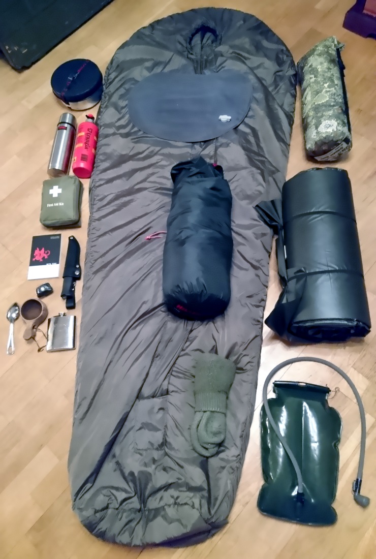
Gear and packing lists
General
- Rucksack with rain cover
- Tent
- Sleeping bag and pad, large waterproof stuff sack
- Small packing bags for food
- Trash bag
- Waterproof packing bag for spare cloths
- Matches with cookware and another set in the pocket. "Two is one, one is none!"
- Puukko-knife
- First-aid kit
- Repair kit
- Phone and waterproof bag
- Hydration bladder and water filter
- Compass and map
Repair kit
- Few metres of cord
- Few metres of wire
- Few metres of duct tape
- Two utility straps
First-Aid kit
- Pressure bandage, bandages and wraps
- Sports tape
- Kinesiology tape
- Disinfectant
- Burn gel
- Sun lotion
- Analgesic
- Personal medication (allergy etc.)
- Band-aids
- Blister band-aids
- Scissors
- Tweezers
Small accessories
- Towel (just a Shemagh in this case)
- Insect repellent
- Mug
- Toothbrush and -paste
- Toilet paper (one roll / person / week)
- Hand disinfectant
- Hygiene towels
- Biodegradable detergent
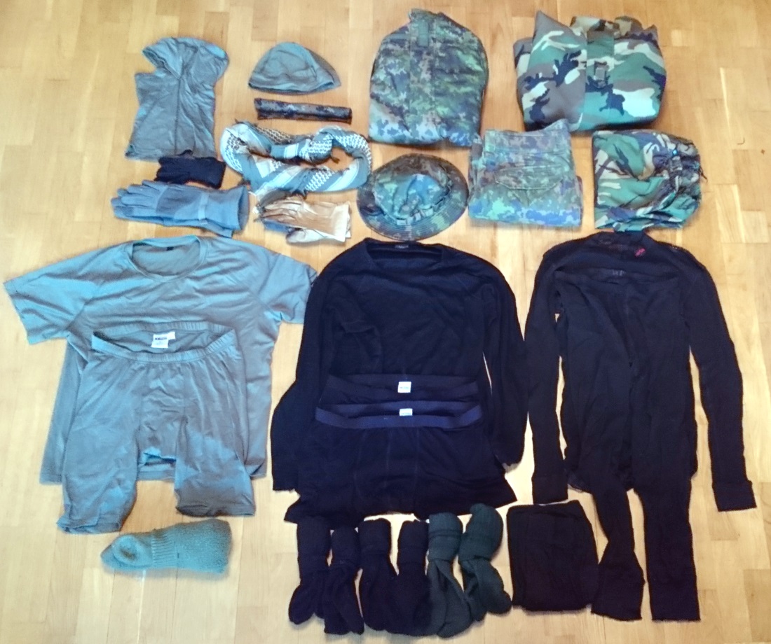
Clothing
- Jacket and trousers
- Long-sleeve shirt
- Hat
- Double socks for hiking
- Thick socks for the camp
- Underpants
- T-shirt
- Long-sleeve merino base shirt
- Merino long johns
- Hiking boots
- Boots for crossing streams
- Rain gear
- Scarf (shemagh)
- Gloves
Cookware and food
- Field stove (Trangia)
- Fuel (2 dl / day / 2 persons)
- Spoon
- For each day: breakfast, lunch, two luncheons, dinner
