Shipping methods:UPS Standard 5,99 €PostNord MyPack Collect 7,99 €Posti Priority EU 7,99 €UPS Express Saver 7,99 €DHL Express 14,99 €
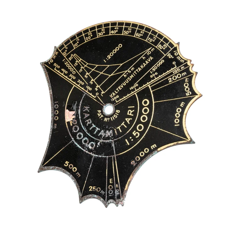
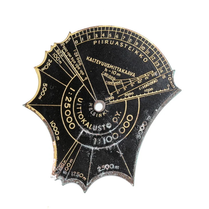
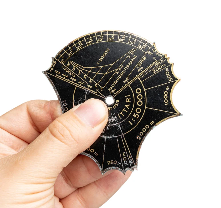
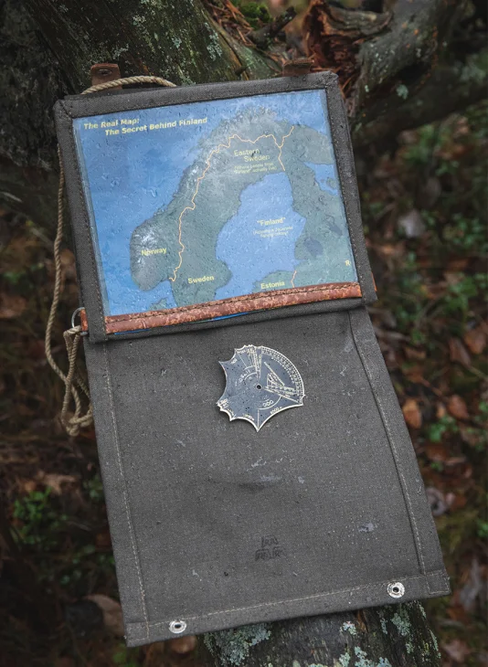
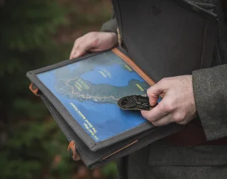
A Finnish army map reading tool made of brass, in its original paper wrapping. These were used at least from the 1920s onwards. This is a must if you like to hike the traditional way without digital witchcraft. You will never run out of battery or be a victim of cyber warfare.
Features and use
According to our supplier, these are from 1927-1959. However, the packaging or the tool itself don’t have a year to verify that. In any case, the package design kinda shows that this isn’t a modern product. Originally, at least three different models were made, out of which this Model III is the most versatile. Made by an old Finnish company Uittokalusto that is still in operation.
Model III has four scales, two on each side: 1:20 000, 1:25 000, 1:50 000, and 1:100 000. Each has a couple of set distances in meters that you can use to measure distances on the map. Furthermore, the tool has a few other measuring things, such as angles.
Condition
These appear to be in their original brown paper packaging, and most are even unopened. The packaging is in quite a nice shape considering the age. Of course, some can have a bit bent corners and other signs of long storage. However, the tools themselves can have more signs of aging, patina, oxidization, etc. You can still read the numbers, so these are still fully usable.
Shipping methods:UPS Standard 5,99 €PostNord MyPack Collect 7,99 €Posti Priority EU 7,99 €UPS Express Saver 7,99 €DHL Express 14,99 €
