Hundred hikes in 2019, part 2/3
Hundred hikes in 2019, part 2/3
This is the second part of the article series on our Essi and Tero's hiking challenge for they year 2019. In the first part, we looked at the preparations for this adventure-filled year. In this part, we'll see what actually happened.
Finland together with its endless forests and countless lakes is really fascinating. We are also thrilled by the Finnish biodiversity - from marshland to fells and primeval forests. Watching birds and other animals as well as observing the seasonal changes in plants is a lot of fun.
All this is available when you just step out of the door. In the course of the year, you get to witness all the seasonal changes in nature from animal tracks on the bright snowbanks in winter to the sleet season at the end of the year. Without forgetting the first yellow coltsfeet peeking out of the ground or the last oak leaves falling from the trees in the fall.

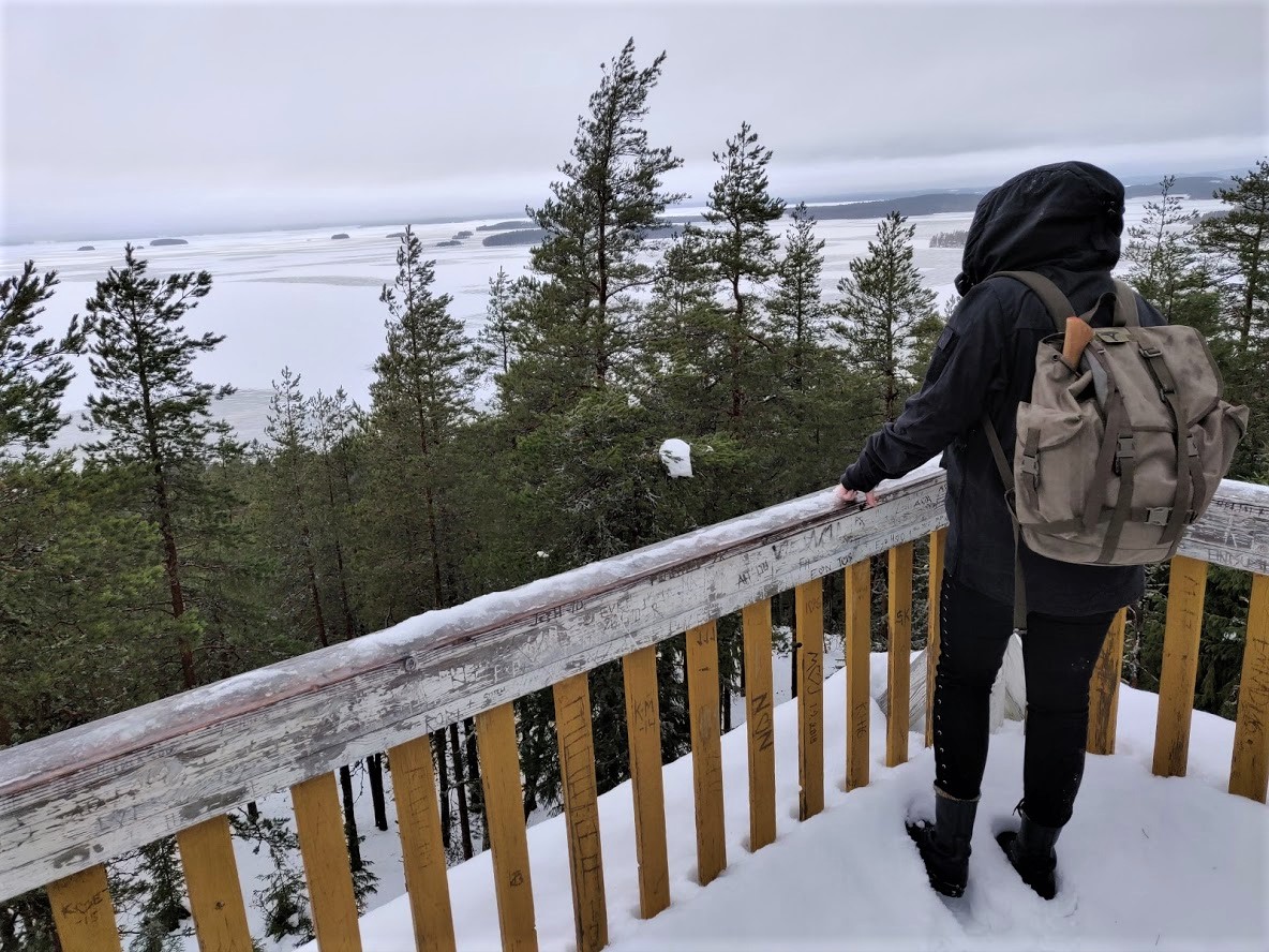
Lake Päijänne from an old observation tower.
Exceeding the expectations
During the year, we mapped out suitable hiking destinations nearby using, for example, topographical maps. It was awesome to find out that there were twelve conservation areas, a few lakes/ponds, and one bird watching tower less than two kilometers (c. 1 mile) from our home. We went to check these out after work.
Sometimes we journeyed a bit further by car. Many popular destinations are also accessible by public transportation but we wanted to spend time alone without lots of other hikers. Therefore, we often found our own trails or visited a bit less popular destinations. Rain is your friend when you want to avoid big crowds! And if you have the right equipment, the weather doesn’t matter at all.
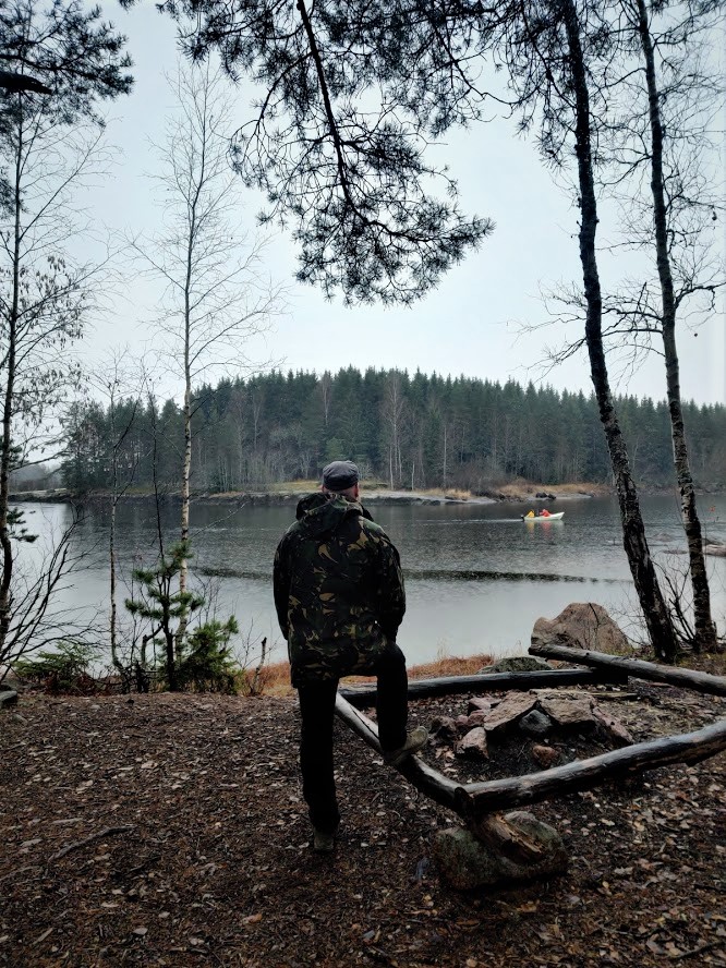
Kymijoki river on a rainy day.
In addition to the destinations close by, we had a few longer trips, for example to the Turku Archipelago, the Kaldoaivi wilderness area in northern Lapland and the national parks in Seitseminen, Repovesi, and Kurjenrahka.
Seitseminen National Park
We went to Seitseminen during the last snowy days in the spring. Because the Helsinki region was quite summery, we were surprised by the amount of snow there. In places, there was snow up to the thighs when you stepped away from the trail. We made food and stayed overnight in a tent in the vicinity of a lean-to and a fireplace. We hardly saw anybody there even though the weather was super nice. All in all, it was about a twelve-mile hike.
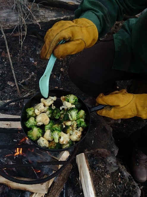
These pictures still make us hungry.
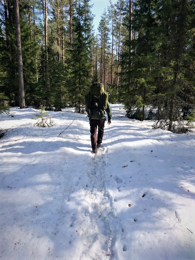
Seitseminen National Park in the springtime.
Saariston Rengastie
Rengastie road in the Turku archipelago was a completely new destination for us. We went there by car at the turn of July-August through this route: Turku - Naantali - Taivassalo - Kustavi - Iniö - Houtskari - Korppoo - Nauvo - Parainen. We took the opposite direction as most of the fellow travelers, which turned out to be a wise decision. This route has many nice ferry trips by sea. Some of them only last a few minutes, some over an hour. Thanks to our direction of choice, the trips went smoothly without excessive waiting.
We had a fairly tight schedule of three days, staying overnight in Turku and Kustavi. We did have some time for some nature adventures, for example, in an observation tower and on a nature trail in Houtskari, Jeremiah’s Caves in Kustavi, and the troy town rock maze in Nauvo. Furthermore, we slept in a yurt in Kustavi!!! That was a very cool experience.
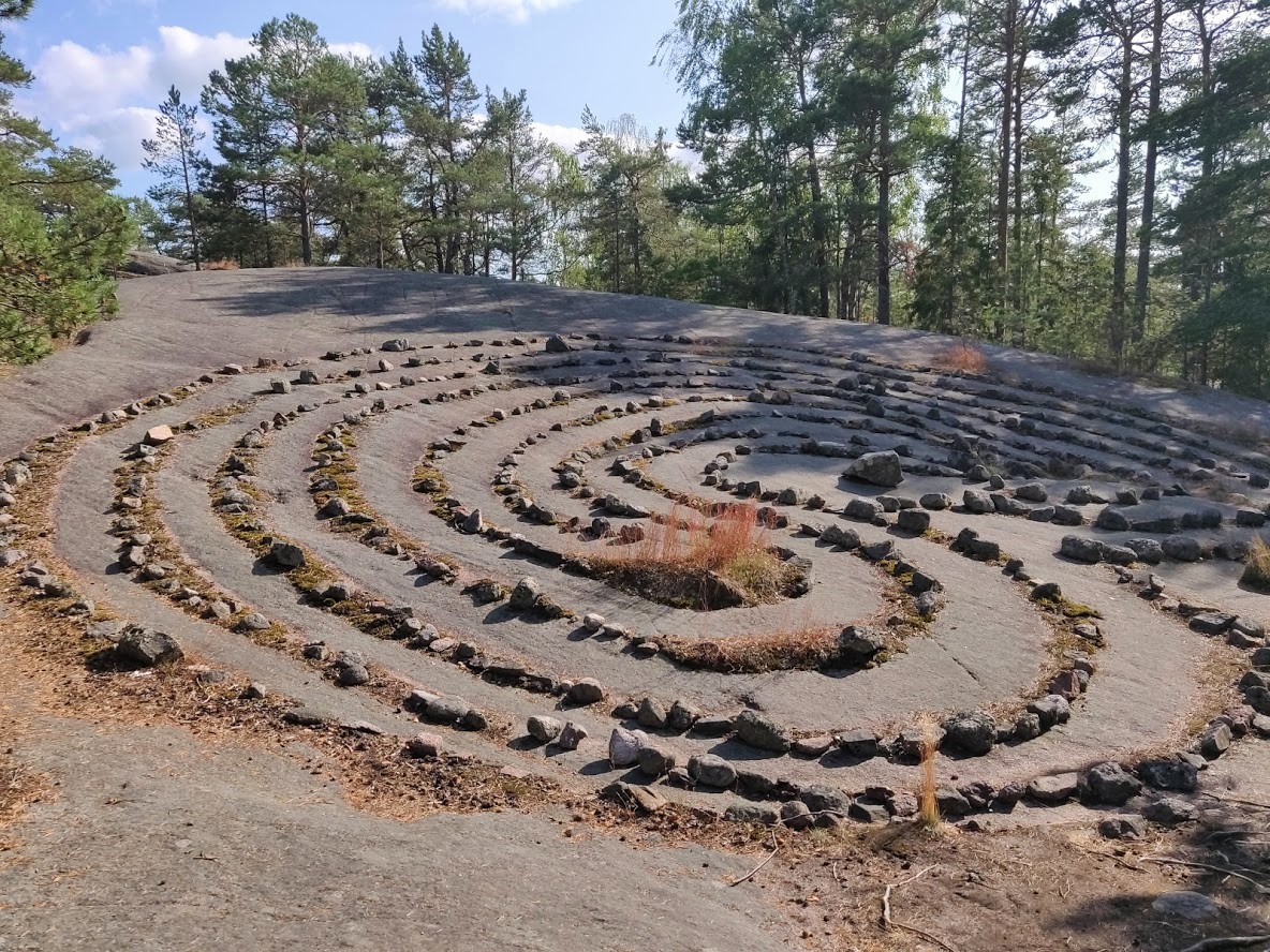
Troy town rock maze in Nauvo.
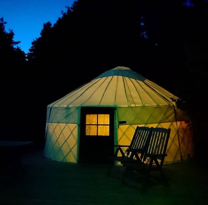
The yurt!!
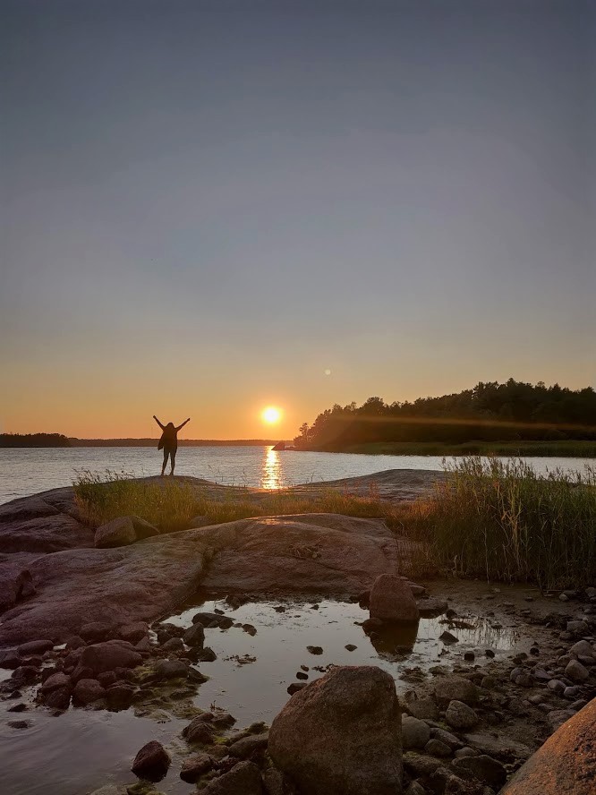
The sunset in the Turku archipelago.
Kurjenrahka National Park
Kurjenrahka National Park was very attractive on a warm July day. We are fond of open, untouched marshland and trails that go across the marshes on duckboards known in Finland as “pitkospuut”, for which this national park is very famous for. Our goal was to complete the route known as “Vajosuon vaellus”, which is a little less than 20 miles long. It was very hot so it was nice T-shirt weather. In the evening, we reached the cooking site next to the Vajosuo marshland where we made food and set up the tent. The weather was dense and humid, just like it is before thunder.
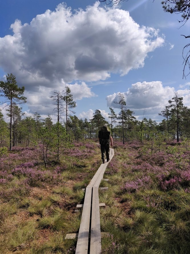
The Kurjenrahka National Park and its duckboards.
We woke up a little bit after three a.m. in a roaring thunder and heavy rain. So, the prediction was spot on. I started counting the distance from the lightning to the sound in seconds. Nine seconds, which equals about 3 km (two miles). Tero didn’t care about the whole thing at all, he just continued sleeping.
It didn’t take long before the thunder was right above us. The wind shook the tent illuminated by the flash of lightning, and the large trees swayed and hummed around us. Luckily we had selected the campsite so that there were only healthy trees around us.
I was afraid to stay inside the tent because it was impossible to see what was going on outside. Therefore, we got out of the tent to make some breakfast at the cooking shelter at around 4 a.m. It was still technically dark but you could see quite well in the lightning. The storm kept raging and we decided not to head back through the forest and the marshes but instead to walk back by the road.
When the worst was over in the morning, we headed out to check out the observation tower close by. After this, we packed up the soaking wet tent and set the course to the nearest road. After we had walked a short while, the weather of course cleared. It was very boring to walk ten miles on the road to the car but luckily we had good company and bad jokes.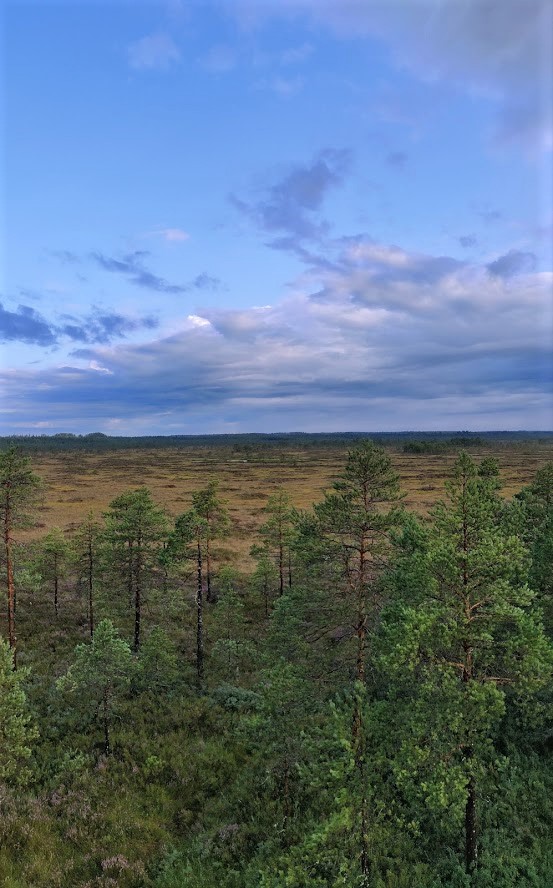
The view from the observation tower after the thunderstorm.
Kaldoaivi Wilderness Area
We hiked in the Kaldoaivi wilderness area at the end of August. Kaldoaivi had captivated our hearts already a couple of years ago when we followed the trail from Sevettijärvi to Pulmankijärvi. Kaldoaivi is the northernmost and biggest wilderness area in Finland. It is located in Utsjoki next to the border to Norway. It is indeed quite big, the walking distance across it at the narrowest spot is 70 km (44 miles) and if you go by car, the road winds for 250 km (155 miles).
This time we didn’t have to think about moving the car from one place to another because we drove straight to the southern end of Pulmankijärvi lake and planned on hiking partially along our own trails so that we would finally end up where we started. This six-day journey was our longest in 2019. About half of the distance went through untouched wilderness and the rest followed a mountain bike route.
During this hike, we stopped to fish at Ylä-Pulmankijärvi lake, went to check out the Aadolf’s turf hut close by and the German Junkers Ju 52 that had to emergency land here during WWII. You can read more about this adventure in this article.
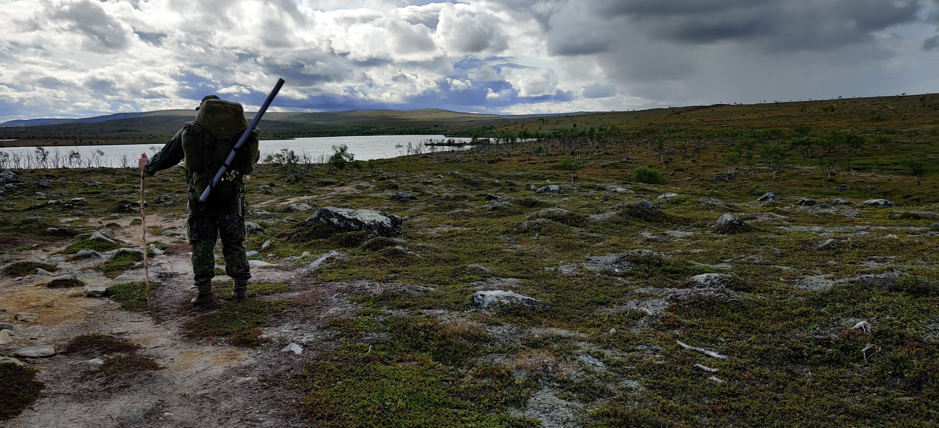
Kaldoaivi wilderness area.
Repovesi National Park
In the rainy October, we conquered the Repovesi National Park. It is located in southeastern Finland on the border area of the Kymenlaakso and Etelä-Savo regions. We are both originally from Kymenlaakso so this felt like going home. Repovesi is quite familiar to us from our previous visits but this time we decided to explore more unfamiliar territories around the Tervajärvi lake in the southern part of the park.
We had pre-booked a Laplander’s hut in Lojukoski where we arrived in rainy weather just before the dark. It wasn’t very late because this was in October, when it gets dark very early. We had some stronger water with us which kept us in high spirits during the evening. The hut had a nice cooking setup and a big fire pit in the middle. It was nice to spend the night in a warm, private hut.
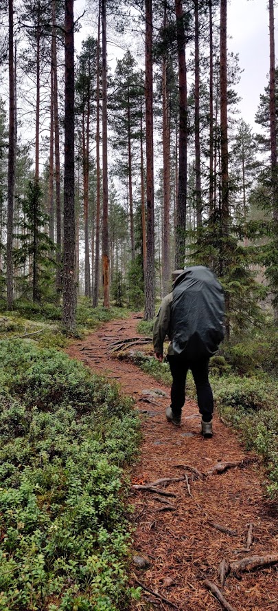
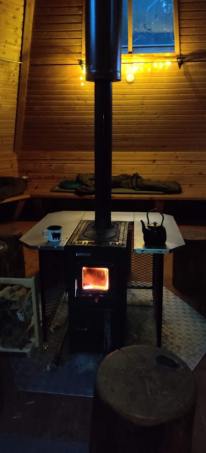
Repovesi and the rental hut.
Unforgettable moments
Even though we saw loads of beautiful places during this year, the most memorable were the trips and destinations that had something unique. For example, the trek to a nearby lean-to on a moonlit night with oil lanterns. It was a magical night under the full moon that illuminated the whole world around us. This was one of those after-work trips, and it was really worth it!
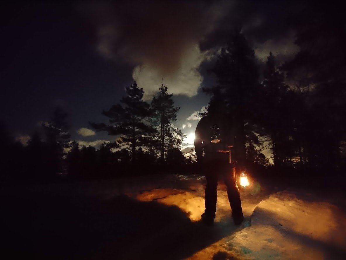
The full moon lighting our path in winter.
Another memorable moment from the same spring was when we went for an overnight hike with a small bunch of people with plans to stay at the same lean-to as above. However, since the place was already occupied, we executed plan B and set our camp at the tip of a small cape.
Since we all worked at Varusteleka, it wasn’t a big surprise that everybody had some kind of shelter in their backpacks. There were rain ponchos, bivvy bags, a Polish surplus lavvu, tarps, etc. We ended up sleeping in the Polish lavvu that we took with us for a test setup.
This was my first proper winter night out. Therefore the thought of losing the solid shelter was a bit worrisome and for a moment sleeping in the car sounded very tempting. However, good company is excellent for boosting one’s courage. The night went well. I had a three-season sleeping bag with me and on top of that a thermal cloak. It had snowed some more during the night and it was nice to wake up and really feel the fresh air in a bit lighter shelter.
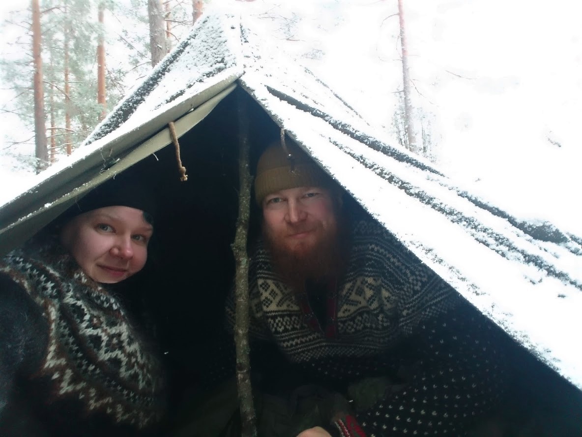
Polish lavvu is the best.
Pyhä-Nattanen
The most beautiful place that we saw was in Sodankylä, Lapland at the top of the Pyhä-Nattanen fell. Many hikers have said that if there is one place you should experience before you die, it is Pyhä-Nattanen. Now we understand this because we haven’t been able to find a more beautiful place yet.
The scenery was breathtakingly magnificent already on the way up, and it got even better when we reached the top and saw the huge rocks known as “toorit” and the wide-open scenery around us with all the majestic fells. Toorit are big angular rocks that were born when granite started cracking and peeling off around them. They are the most durable part of the rock face. The ones here are c. 40-50 meters (44-55 yards) long and c. 10 meters (11 yards) tall. There is also an old fire spotter’s hut at the top that nowadays functions as a daytime resting place for travelers. Imagine how cool it would have been to work as a fire spotter in this scenery!
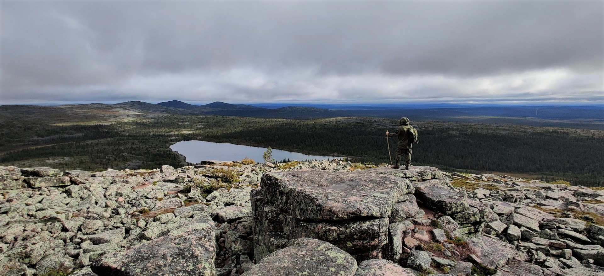
Pyhä-Nattanen fell.
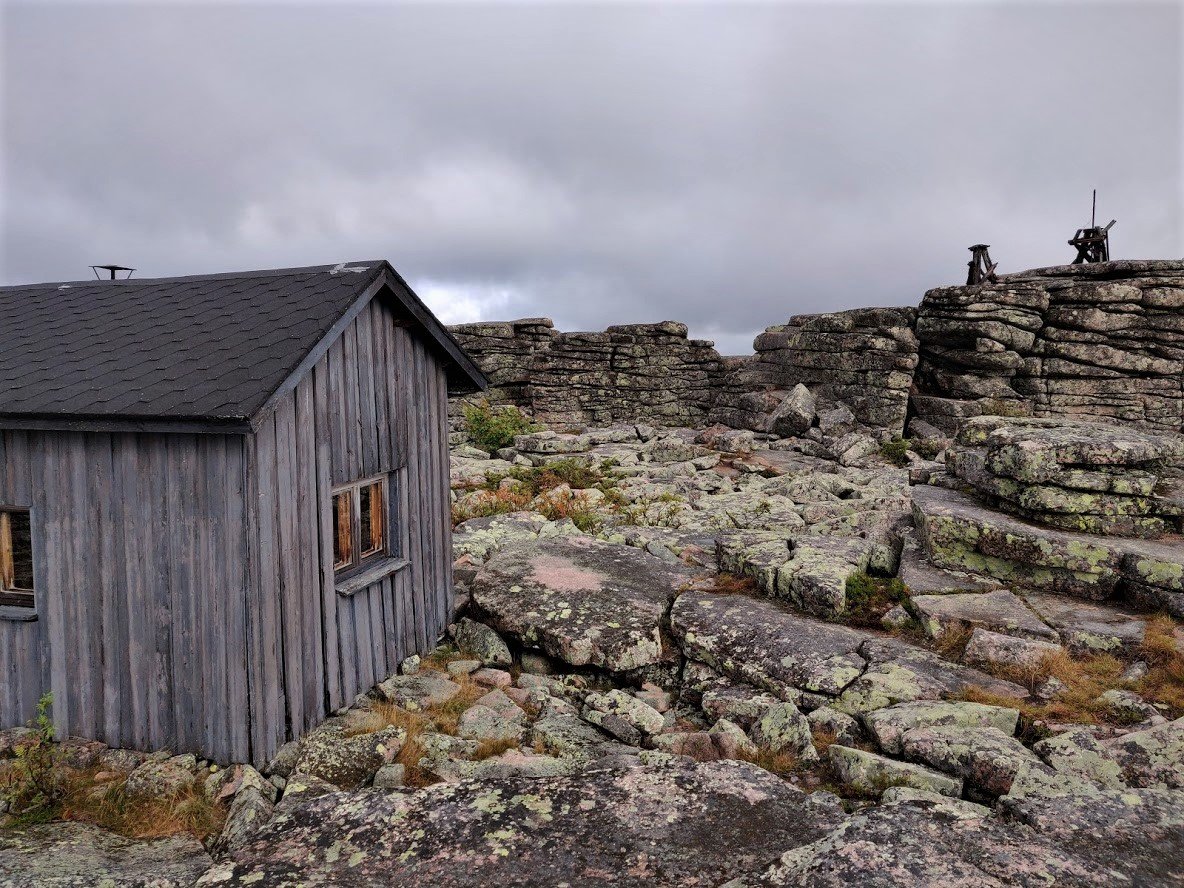
The fire spotter’s hut.
Mustavuori in Helsinki
In Helsinki, we think that one of the most interesting and beautiful destinations is the Mustavuori hill in Vuosaari. We dove in the forest from the parking lot and soon we were climbing up along an old WWI trench. When we got on top of the hill, the walls of the trench had changed into tall cliffs. After a bend, it really felt like there was a vast black hole in front of us.
It could be that the selected day was especially great weather-wise, making it an unforgettable experience. The weather wasn’t sunny though; it was cloudy and rainy. However, thanks to the weather we could walk there on our own without other people, and the high humidity brought new life to everything around us. There are many other interesting things to see in this area, so it is well worth visiting. But you should bring a flashlight or a headlamp and waterproof boots!
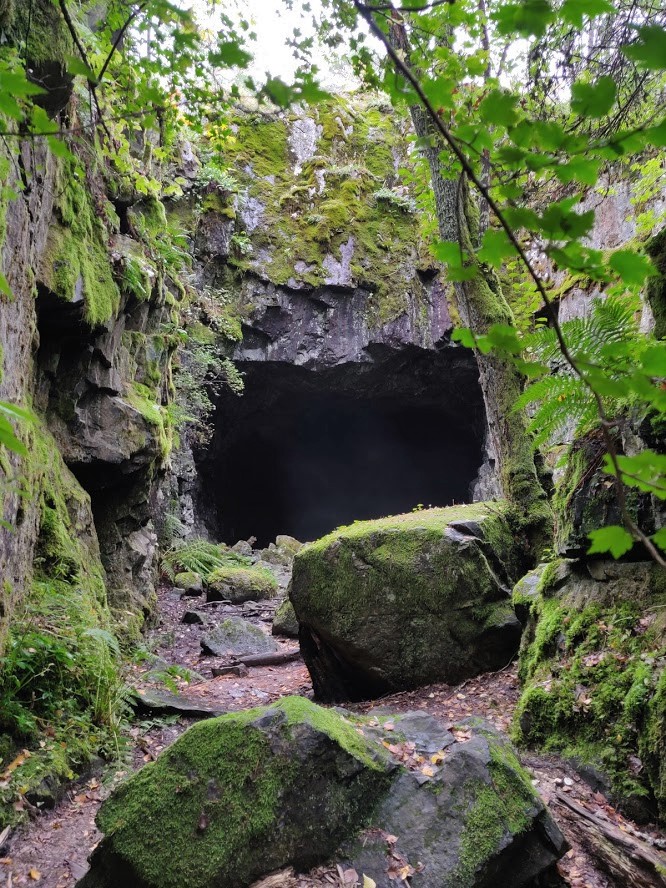
Caves from the WWI era in Helsinki.
Marttilan Korpi wilderness trail
Because we are especially fond of untouched wilderness, we have tried to find as rugged scenery as possible close by. A particularly nice place in southwestern Finland is known as Marttilan Korven eräreitistö. We have visited this area several times during the last few years, and thus it has become quite familiar.
These trails have such rugged wilderness landscape with rocky cliffs and swamps that we haven’t seen anything like it in other parts of southern Finland. If your yearning for Lapland grows too strong but you simply have no time for such a long trip, set your course here!
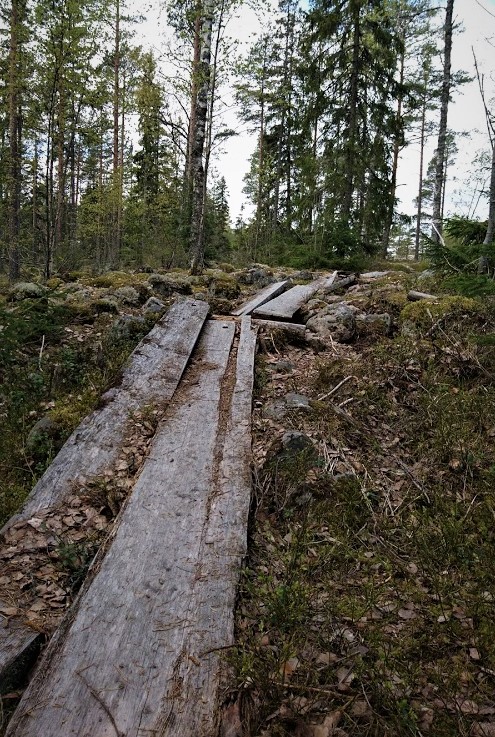
On a wilderness trail in Marttilan Korpi.
Takomäki quarry
One magnificent but not that natural destination is found in a forest in southeastern Finland. It is an abandoned quarry of Takomäki in Savitaipale that has been filled with clear water, transforming the whole place into a real of turquoise water. I believe that local people go swimming here in summer, which is no wonder!
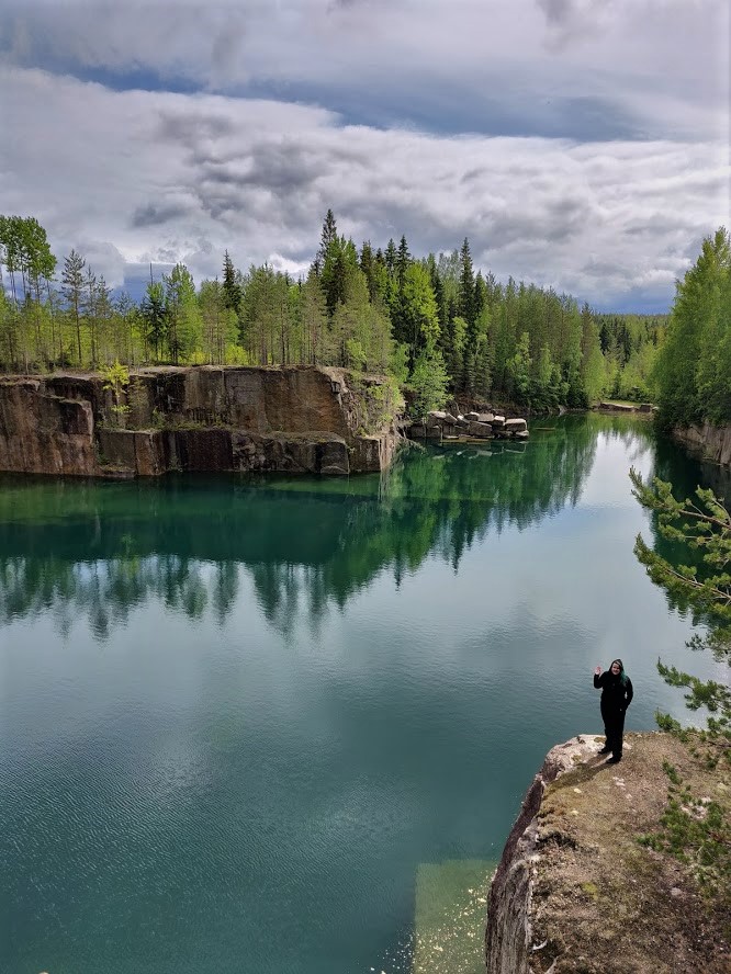
Takomäki quarry.
In the last part of this article series, you'll find out what we learnt during this adventure-filled year. There are also a few delicious recipes, too.